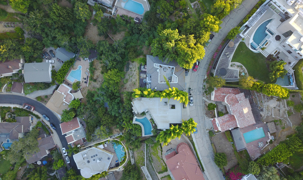
Aerial Surveys in San Antonio, TX – Large-Scale Mapping from Above

When you need broad-area land mapping, high-resolution imagery, or geospatial data collection over vast or challenging terrain, Survey Works delivers precision-grade aerial survey services in San Antonio and surrounding areas. Using a combination of drone-based and manned aircraft aerial surveying platforms, we provide detailed orthophotography, elevation models, and topographic data tailored for planning, design, and infrastructure development.
From land planning and utility routing to floodplain mapping and environmental monitoring, our aerial surveys offer the visibility and data density needed for confident decision-making.
Professional Aerial Survey Services
What Is an Aerial Survey?
An aerial survey captures imagery or sensor data from an elevated platform—typically a drone or fixed-wing aircraft—using high-resolution cameras, GPS, and often Lidar or multispectral sensors. The captured data is processed into detailed, georeferenced outputs such as orthomosaics, digital elevation models (DEMs), or 3D surface maps. Aerial surveys can quickly cover hundreds or even thousands of acres, making them ideal for large-scale or hard-to-access sites.
When to Use Aerial Surveys
Aerial surveys are an excellent choice for projects where traditional land-based surveying is impractical, too slow, or too costly. They are commonly used for:
- Land development and pre-construction planning
- Large-scale topographic mapping
- Environmental and watershed assessments
- Floodplain modeling and FEMA studies
- Pipeline and transmission line corridor mapping
- Agricultural land monitoring and analysis
Our surveyors and GIS specialists process aerial data into engineering-grade formats that integrate seamlessly into AutoCAD, GIS, and civil design platforms.
Aerial Survey Deliverables
Depending on your project goals, we provide a range of aerial survey outputs:
- Georeferenced orthophotos
- Digital Surface Models (DSM) and Digital Terrain Models (DTM)
- Contours and elevation maps
- Vegetation, hydrology, and infrastructure layers
- Cross-sectional profiles and site-specific overlays
All datasets are tied to control points and meet accuracy standards for engineering and municipal planning requirements.
Aerial Surveys for Public and Private Sector Clients
Survey Works serves public agencies, engineers, landowners, and developers across the San Antonio area. We tailor each aerial survey project to the client’s specific timeline, deliverables, and budget. Whether you’re managing a city infrastructure project, scoping out a rural development site, or monitoring changes in environmental features, we provide the aerial visibility and documentation required for confident progress.
Areas We Serve Across San Antonio
We provide aerial mapping and surveying services throughout the region, including:
- San Antonio metro
- Alamo Heights
- Leon Springs
- Fair Oaks Ranch
- Garden Ridge
- Cibolo
- Bulverde
- New Braunfels and the Hill Country
No site is too large or too remote—we’ll bring the right platform to the right location.
Request an Aerial Survey in San Antonio
Need large-area mapping or aerial data collection in San Antonio? Contact Survey Works today for a detailed quote on your aerial survey project. Call (210) 955-9838, email info@surveyworks.com, or complete our survey proposal request form to get started. Our licensed team will determine the best survey method for your project and deliver fast, accurate results.
