

Land Surveying in San Antonio for Commercial & Infrastructure Projects
Survey Works provides licensed land surveying services in San Antonio for commercial, civil, and infrastructure projects. Over 10 years of field-tested experience, delivered with precision on every engagement.
Surveying Solutions for Teams Who Need It Done Right and On Time
Our San Antonio team partners with developers, engineers, utility companies, architects, and public agencies across the San Antonio metro and Bexar County to deliver accurate, high-efficiency surveying solutions that support the planning, design, and execution of large-scale projects.
Survey Works brings over 10 years of field-tested experience to your project. We align with your goals from day one to ensure clear communication, dependable timelines, and defensible data.
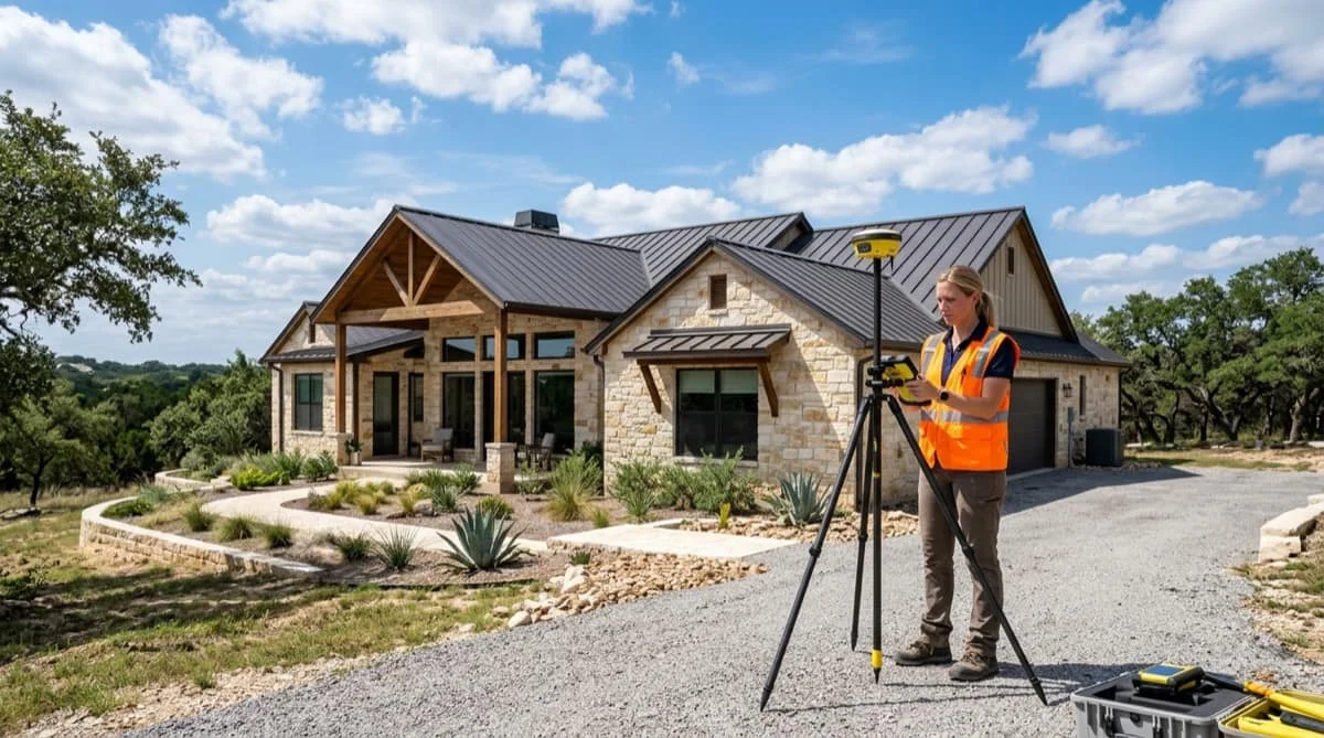
Property Surveys
We deliver sealed property surveys for homeowners, home buyers, and residential builders in the San Antonio area. Our teams establish property lines, document corners with physical monuments, and produce the defensible record needed for fences, closings, permits, and neighbor disputes.
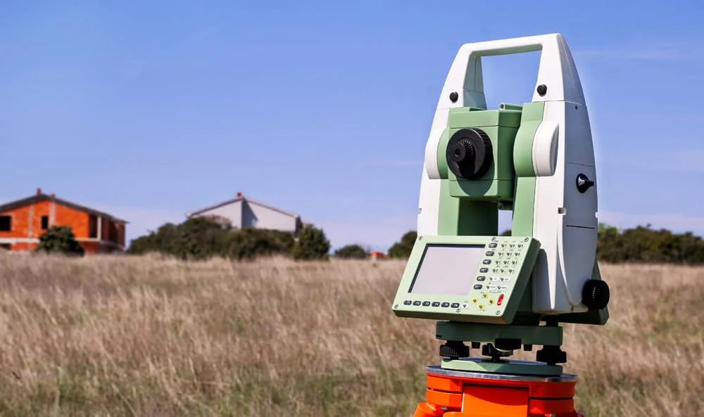
Boundary Surveys
We establish accurate, legally defined property boundaries for residential, commercial, and development parcels throughout Bexar County. Our teams use GNSS and robotic total stations to produce boundary surveys that support land acquisition, subdivision, entitlement, and site planning.
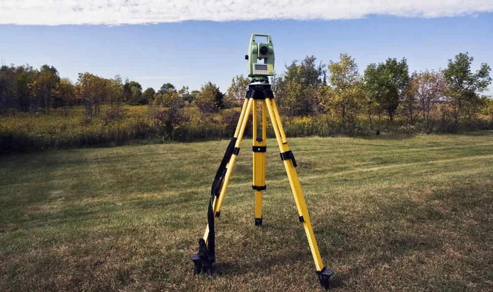
ALTA/NSPS Land Title Surveys
Our ALTA/NSPS surveys meet national standards for commercial real estate transactions across the San Antonio market. We document boundary lines, easements, encroachments, utilities, and improvements to satisfy lender, title, and legal requirements.

Topographic Surveys
Detailed topographic mapping supports grading plans, utility design, stormwater studies, and site layout across the San Antonio metro. We deliver CAD-ready deliverables with surface contours, spot elevations, and structure locations tailored to your engineering requirements.
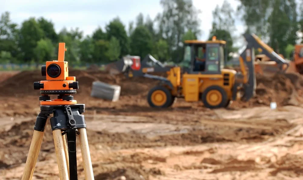
As-Built Surveys
We document completed improvements to verify compliance with approved plans, municipal codes, and contractual benchmarks. As-built surveys are delivered in formats compatible with project closeout and long-term asset management.
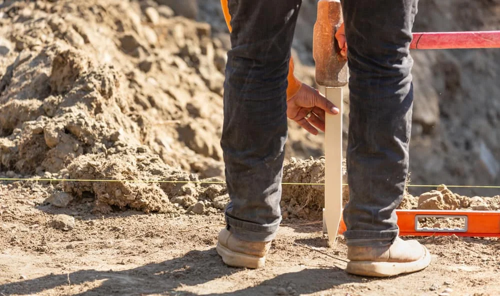
Construction Staking
We provide layout services for infrastructure, foundations, utilities, roadways, and vertical construction throughout the San Antonio market. Precise construction staking ensures contractors execute plans as designed, supporting efficient site development and inspection approvals.
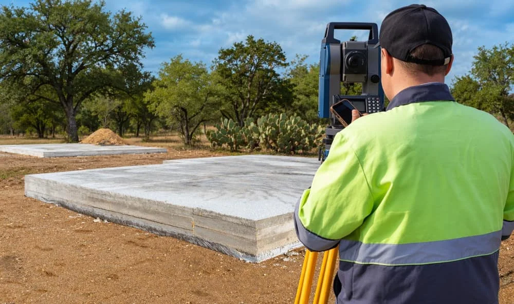
Foundation Surveys
We verify a newly poured foundation sits where plans and permits require, checking its position against property lines, setbacks, and easements before framing begins. Catching a misplacement early protects the build schedule and the certificate of occupancy.

Form Surveys
Form surveys verify that concrete forms are positioned correctly before the pour, confirming setbacks, slab placement, and elevation requirements are met. Our crews coordinate with builders and engineers to keep the job on schedule.

Subdivision & Plat Surveys
We prepare subdivision plats, lot line adjustments, and re-plats for residential, commercial, and mixed-use developments in Bexar County and surrounding jurisdictions. Our team coordinates with civil engineers and city and county planning departments to file drawings the jurisdiction will accept.

Elevation Certificates
For projects in or near flood hazard areas, we provide certified elevation data supporting FEMA documentation, floodplain analysis, drainage design, and insurance requirements throughout the San Antonio region.
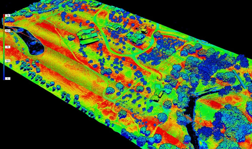
LiDAR Surveys
We deploy mobile and terrestrial LiDAR systems for dense, high-resolution 3D data capture across large sites. LiDAR deliverables support infrastructure corridor mapping, structural documentation, and environments where traditional survey access is limited.

Drone & Aerial Mapping
We deploy advanced UAV platforms for topographic surveys, site monitoring, and large-scale data capture across the San Antonio region. Orthomosaics, DEMs, and 3D terrain models accelerate planning and cut field time significantly.
Built on CRAFT
Five principles behind every survey we seal, and the reason developers, engineers, and public agencies across Texas keep calling us back.
Candor
Clear scope, honest timelines, and a straight answer when a site is more complicated than it looks.
Rigor
Every line reconciled against the deed, the plat, and the monuments on the ground. The seal goes on work that holds up.
Approachability
Most clients have never ordered a survey. We walk you through what you need and why, in plain language.
Focus
Commercial, civil, and infrastructure projects are what we do, with crews who know the standards your reviewers hold.
Trust
Licensed under the Texas Board of Professional Engineers and Land Surveyors, backed by a decade of defensible records.



Rated 5.0 on Google
★★★★★“I am very happy to know that SurveyWorks is now operating in San Antonio. As a builder, communication and timeliness is critical. Derek, Coby and their team were prompt and very professional with their workflow. I will not hesitate to call them for future work.”
★★★★★“Survey works has been doing survey projects for us for over 4 years. They are great at getting the tasks completed. From raw land surveys to land planning they can handle it all from regular lot survey with homes and improvements to simple property line location.”
★★★★★“Wonderful experience!! Great pricing, thorough work, plus Pamela, Michelle and Derek delivered excellent customer service. Would most certainly work with them again!”
Ordering a Survey in San Antonio
Whether you need high-resolution topographic mapping for a San Antonio site development or an ALTA survey for a multi-acre commercial acquisition in Bexar County, we bring deep technical expertise, responsive communication, and fast turnaround to every engagement. We adhere to the Texas Board of Professional Engineers and Land Surveyors' standards and are trusted throughout the industry for dependable, detail-oriented results.
Most clients have never had to order a survey, and it can sometimes feel slightly confusing. At Survey Works we walk you through the process and help you understand exactly what you are getting and why you need it. It starts with an initial request for a proposal. Using our online request form, clients can submit the majority of information we need to give an accurate estimate. Just like every property is different, so is every survey. We advise you on which type of survey fits your project and provide a clear estimate of the costs involved.
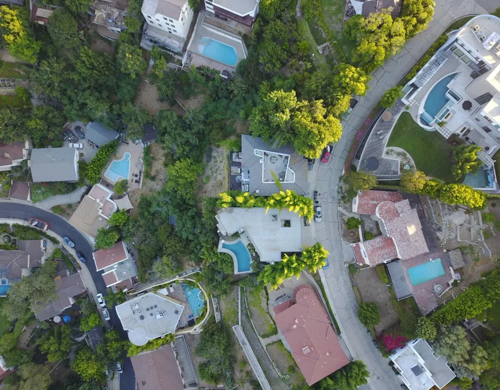
Tailored Surveying Solutions for San Antonio Professionals
Survey Works is built to serve professionals who require precision, consistency, and collaboration throughout the greater San Antonio market. We understand the technical demands of engineering and land development and integrate seamlessly with civil design workflows, construction schedules, and regulatory frameworks.
Our clients include:
- Civil engineering firms
- Real estate developers
- Energy and utility providers
- Municipal and public agencies
- Architects and planning consultants
- Commercial builders and general contractors
We mobilize crews throughout San Antonio and the surrounding region, including Boerne, Helotes, Schertz, Cibolo, New Braunfels, and North Bexar County.