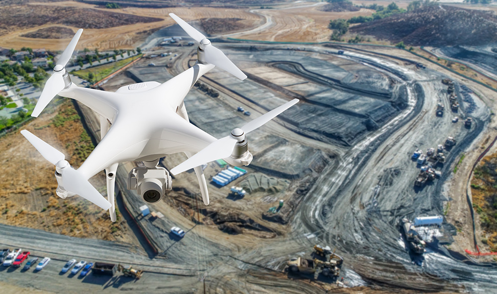
UAV Surveys in San Antonio, TX – Precision Mapping with Professional Aerial Systems

At Survey Works, we deliver fully integrated UAV (Unmanned Aerial Vehicle) survey services in San Antonio, providing clients with high-resolution aerial mapping and survey-grade data for development, engineering, and infrastructure projects. Our FAA-certified UAV pilots and licensed surveyors work together to ensure that every flight meets strict regulatory, safety, and accuracy standards. If you’re looking for scalable, efficient, and legally defensible geospatial data—our UAV surveys deliver.
Whether you’re managing a multi-acre land development, assessing site grading, or planning infrastructure upgrades, our UAV survey systems provide fast, accurate, and actionable insight from above.
Professional UAV Survey Services
What Is a UAV Survey?
A UAV survey uses a drone or unmanned aerial vehicle equipped with high-resolution cameras, GPS sensors, and sometimes Lidar scanners to collect detailed spatial data. Unlike recreational drones, our commercial-grade UAVs are operated under FAA Part 107 certification and are integrated into traditional land surveying workflows for accuracy, compliance, and consistency.
The data collected is used to generate orthomosaics, 3D models, digital elevation maps, and contour layers that support precise decision-making across a wide range of projects.
Why Choose UAV Surveys?
UAV surveys are ideal for covering large or inaccessible terrain quickly while delivering highly accurate, detailed datasets. Benefits include:
- Reduced field time and increased efficiency
- Safer data collection in hazardous or remote areas
- Scalable for any size project, from small lots to large infrastructure corridors
- Cost-effective alternative to manned aerial surveys
- High-resolution outputs that integrate with CAD, GIS, and BIM platforms
At Survey Works, we don’t just fly drones—we combine UAV data with licensed surveyor oversight to ensure legal validity and survey-grade reliability.
UAV Survey Applications
Our UAV survey services in San Antonio support a wide variety of industries and project types, including:
- Residential and commercial land development – boundary definition, grading analysis, topographic modeling
- Civil engineering and infrastructure design – roadway alignment, drainage studies, cut-and-fill analysis
- Construction progress monitoring – visual documentation, volumetric tracking, as-built mapping
- Environmental and floodplain mapping – vegetation analysis, flood modeling, erosion tracking
- Municipal and utility planning – utility route mapping, public works assessment, ROW surveys
What You Get from a UAV Survey
Every UAV survey project is customized based on your site size, project goals, and accuracy requirements. Deliverables may include:
- High-resolution orthophotos
- Digital Elevation Models (DEMs) and terrain models
- Topographic contours
- 3D site models and mesh files
- Volume measurements and surface analysis
- CAD-ready data integrations
We can also deliver geoTIFFs, KMZ overlays, and cloud-based access for distributed project teams.
Serving San Antonio and Surrounding Areas
Survey Works provides UAV surveys throughout San Antonio and nearby cities, including:
- Shavano Park
- Hollywood Park
- Boerne
- Schertz
- Fair Oaks Ranch
- Cibolo
- New Braunfels
- Central and North Bexar County
Our team is available for one-time surveys or ongoing monitoring schedules.
Request a UAV Survey in San Antonio
Need professional UAV survey services for your site? Contact Survey Works today to request a proposal for UAV mapping in San Antonio. Call (210) 955-9838, email info@surveyworks.com, or submit your online survey request form with project details. We’ll assess your needs, recommend the right aerial solution, and provide a fast, transparent quote.
