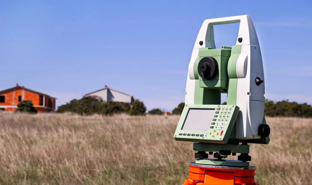
Survey Works provides boundary surveys in San Antonio and across Bexar County for property owners, buyers, builders, and developers. A boundary survey establishes and documents the location of a parcel's property lines, marking the corners with physical monuments and producing a sealed drawing that holds up in a dispute, a closing, or a construction project.
Boundary surveys are also called property line surveys, lot line surveys, or fence line surveys depending on what raised the question. The deliverable is a sealed drawing prepared by a licensed land surveyor, with monuments set on the corners so the boundary is visible on the ground.
What a boundary survey establishes
Every boundary survey reconciles two kinds of evidence. The historical record covers the deed, the filed plat, and the neighboring chains of title, and the physical record covers the monuments, pins, fences, and occupation lines the crew finds on the ground. The deliverable includes the sealed drawing with the parcel's legal description, the measured lines tied to the record, markers set on the corners, and any encroachment issues found during fieldwork, and the boundary scope pairs with topographic and tree scope when the project needs a combined deliverable. The closing-and-title side of residential line questions, including when an older survey can be reused, sits with a property survey.
When San Antonio clients order a boundary survey
A homeowner orders one before fencing a shared line, because a misplaced fence is expensive to move once a neighbor objects. A buyer orders one during due diligence on acreage in south Bexar County, where a parcel near Elmendorf may not have been surveyed in a generation. A builder orders one before breaking ground so the foundation and setbacks tie to verified corners. Neighbors in a disagreement order one because no city or county office will settle the line for them, and the sealed survey is the evidence a resolution gets built on.
Why San Antonio boundary work spans three centuries of records
Bexar County has been continuously titled since Spanish settlement began in 1718, which makes it one of the oldest land records environments in Texas. The county's earliest chains of title trace to Spanish and Mexican land grants, and those deeds describe distances in varas, the Spanish-era unit the Texas Legislature fixed at 33 1/3 inches in 1919. Retracing a line that was written in varas means working the deed records before the crew ever measures, and in the city's older neighborhoods that research is a standard part of the scope.
King William, designated in 1968 as the first historic district in Texas, and Monte Vista, a roughly 100-block district north of downtown, sit on nineteenth-century plats whose corners were set long before modern instruments existed. A subdivision in Alamo Ranch or along the 281 corridor was platted with GPS and agrees with it closely. On a newly platted lot the fieldwork can be a matter of hours, while the same scope on an 1880s block near downtown can take days of research before the crew stakes anything, and Survey Works prices and schedules each job around what the records show before the crew mobilizes.
Property pins, disputes, and what the survey settles
Many homeowners start by hunting for the buried iron pins with a metal detector, and finding them is a useful way to get oriented. The pins alone settle very little, because pins get disturbed by fence crews and utility work, some near a corner were set by surveys of the adjoining parcel, and a pin can sit somewhere the record never put it. A surveyor reconciles what is found on the ground against the deed and the plat, and that reconciliation is what turns a found pin into a defensible corner.
In a dispute with a neighbor, the evidence that matters is the same evidence the surveyor works from anyway. The deeds on both sides, the recorded plat, the monuments, and the history of how the line has been occupied carry the weight, and a sealed survey is how that evidence becomes a determination both sides can examine. Two surveys can occasionally disagree, because weighing conflicting evidence involves professional judgment, and the seal on the drawing is the surveyor standing behind that judgment. When Survey Works is brought into an active disagreement, we document what the evidence shows, whichever way it points.
Survey Works has performed boundary surveys across Texas for over 10 years, from newly platted suburban lots to vara-described parcels near downtown San Antonio to ranchland partitions in the surrounding counties. Our crews work throughout the metro, including Helotes, Grey Forest, Bulverde, and the rural southeast around Elmendorf, and every project runs through the same process, calibrated to the evidence the site presents and the use the survey has to support.
For a boundary survey anywhere in the San Antonio area, whether for a fence, a closing, a new build, or a dispute with a neighbor, Survey Works has the field experience and the records expertise to deliver a defensible line.