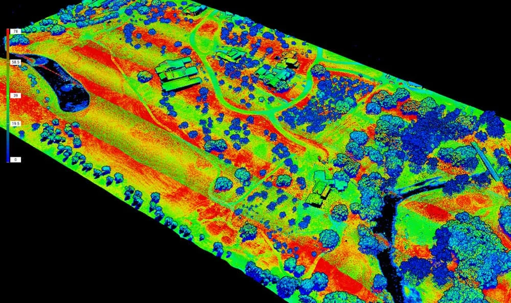
Survey Works provides elevation certificates in San Antonio and across Bexar County for homeowners, builders, and commercial property owners. An elevation certificate is the FEMA form that records a building's surveyed elevations, including the lowest floor, against the base flood elevation for the site. Ours are certified by a licensed land surveyor from elevations measured in the field.
The certificate is the document that connects a building to the flood map. Floodplain permits, flood insurance pricing, and map amendments all read from it, and once completed it stays valid unless the building itself physically changes, though an insurer or lender may ask for the current form edition.
Permits, insurance, and the one-foot rule
Both local jurisdictions require elevated construction in the floodplain. Inside the city, the Unified Development Code requires a new home's lowest floor to sit one foot above the regulatory floodplain, and an elevation certificate goes in with the floodplain development permit that the Development Services Department and the city's floodplain administrator review. In unincorporated Bexar County, a floodplain development permit from the county's Public Works Department covers work in, or within 100 feet of, the FEMA floodplain, and new residential construction carries the same one-foot elevation rule, certified by a licensed surveyor, engineer, or architect.
FEMA prices flood insurance from its own elevation data and does not require a certificate to buy coverage. An owner can submit one voluntarily, and FEMA will use it when the surveyed elevations show a lower risk than its estimate, so for a house that sits well above the surrounding grade, the voluntary submission can lower the premium.
Coming off the flood map with a LOMA
Some buildings are mapped inside the flood zone even though the ground they stand on rises above the base flood elevation. FEMA's Letter of Map Amendment process corrects that: when a surveyor documents that the lowest ground touching the structure sits at or above the BFE on natural grade, FEMA can remove the structure from the mapped hazard area, and the owner can send that determination to the lender and ask for the federal flood insurance requirement to be lifted. FEMA charges no fee to review a standard LOMA, so the survey work is the main cost of the application. Where the site was raised with engineered fill, the equivalent process is a LOMR-F, and we scope the elevation work to whichever application the site supports.
When San Antonio clients order elevation work
A builder orders the certificate as part of the floodplain permit package, before and after construction as the jurisdiction requires. A buyer or owner near the edge of a mapped zone orders one to test whether the structure qualifies for a LOMA before paying another year of premiums. An owner disputing a high premium orders one to put surveyed elevations against FEMA's estimate. The San Antonio River Authority describes this region as part of Flash Flood Alley, the corridor of steep terrain and intense rain that runs from Del Rio through San Antonio and up the I-35 corridor. Around the metro that shows up as mapped floodplain along Leon Creek, Salado Creek, and the Medina River, and in low-lying communities like China Grove and Macdona.
Survey Works has provided elevation certificates and flood elevation surveys across Texas for over 10 years, alongside the form survey and foundation survey work that confirms a new slab will meet its required elevation before and after the pour. Every certificate is completed on the current FEMA form from field-measured elevations.
For an elevation certificate or LOMA elevation work anywhere in the San Antonio area, request a proposal and we will confirm what the jurisdiction and the flood zone require for your site.