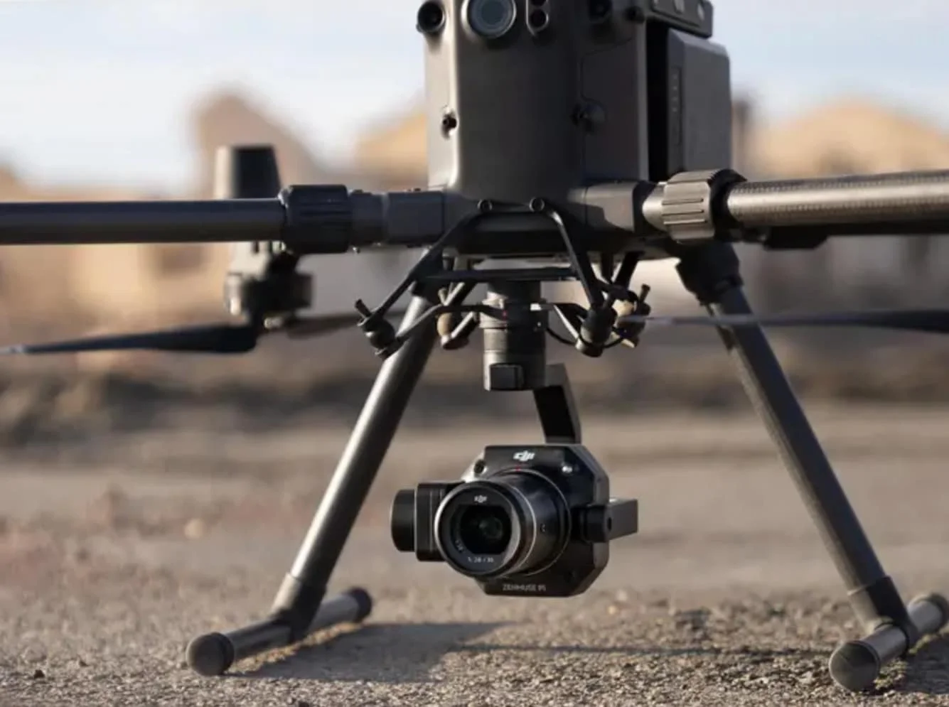
Survey Works provides drone surveys for civil engineers, construction teams, developers, and landowners working across Texas. A drone survey uses an FAA-licensed UAV (unmanned aerial vehicle) to capture high-resolution imagery and dense elevation data across a site faster and at lower cost than a traditional ground crew, especially on large, open, or difficult-to-traverse parcels. The deliverable is a sealed survey product, prepared by a licensed land surveyor, with the raw aerial data processed into the formats the design team and project stakeholders actually work in.
Drone surveys are also referred to as UAV surveys, aerial surveys, or aerial mapping depending on the scope and the industry. Survey Works runs drone work as a complement to traditional field methods, choosing the right capture approach based on the specific site, the accuracy requirements, and the deliverable the project needs.
What a drone survey captures
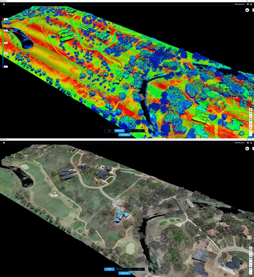
The data products a drone survey delivers depend on the sensor payload and the processing pipeline. Most projects involve one or more of the following:
- A high-resolution orthomosaic, built from hundreds of overlapping aerial photos stitched into a single scaled image of the site
- A Digital Terrain Model (DTM) or Digital Surface Model (DSM) representing the elevation of the ground and its features
- Dense contour maps derived from photogrammetry or LiDAR point clouds
- 3D models of terrain, stockpiles, buildings, or earthwork features for volumetric calculation
- Change-detection deliverables that compare surveys over time to track construction progress or earthwork
Survey Works selects the sensor, flight pattern, and ground control setup based on the accuracy the project requires and the deliverable it has to support. Each drone capture is tied to survey-grade ground control points so the aerial data aligns with the boundary and any existing site design.
When clients order a drone survey
Drone surveys come up most often on projects that are too large, too difficult or unsafe for a traditional ground crew to cover efficiently. A civil engineer ordering a drone topographic capture on a multi-acre development gets denser elevation data and full orthorectified imagery in a single day of flight, compared to several days of field crew time. A construction team running a long-duration build orders periodic aerial captures to document earthwork progress and reconcile quantities against the plan. A landowner evaluating a rural tract orders a drone capture to understand the land before committing to a specific use.
Drone work also fits projects crossing difficult terrain, linear infrastructure corridors like pipelines and roadways, volumetric calculations on stockpiles and quarries, and any site where a ground crew would face access or safety constraints that a drone can fly around.
When drone isn't the right tool
Drone surveying is not the right choice on every site. There are specific conditions where traditional field methods produce a better deliverable or where a drone flight simply is not available.
"The times we'll tell a client a drone isn't the answer: if the airspace is restricted, conditions are unsafe, or if their property is too small and would benefit more from traditional survey methods. Outside of those, we can cover hundreds of acres in a day."
— Byron Bragg, SIT, UAS Pilot
Restricted airspace covers a lot of Texas: airport approach surfaces, military installations, and temporary flight restrictions all rule out drone capture in specific locations and at specific times. Unsafe flying conditions, whether from wind, weather, or ground hazards, trigger the same decision. On very small sites, the overhead of setting up ground control, flying the mission, and processing the data outweighs the speed advantage that makes drone surveying worthwhile on larger sites, and a traditional field crew produces a better result faster. Survey Works handles the method call during the initial scope conversation, so the right tool is on the site from day one.
Survey Works has run drone surveys across Texas since 2020, with FAA-licensed pilots and the ground-control and processing infrastructure to deliver survey-grade aerial data on projects of any scale. Every flight runs through the same process, with the sensor, flight plan, and deliverable calibrated to what the project actually needs.
For a drone survey, aerial mapping scope, or UAV-captured topographic deliverable anywhere in Texas, Survey Works has the licensed pilots and survey expertise to deliver the right data in the right format.