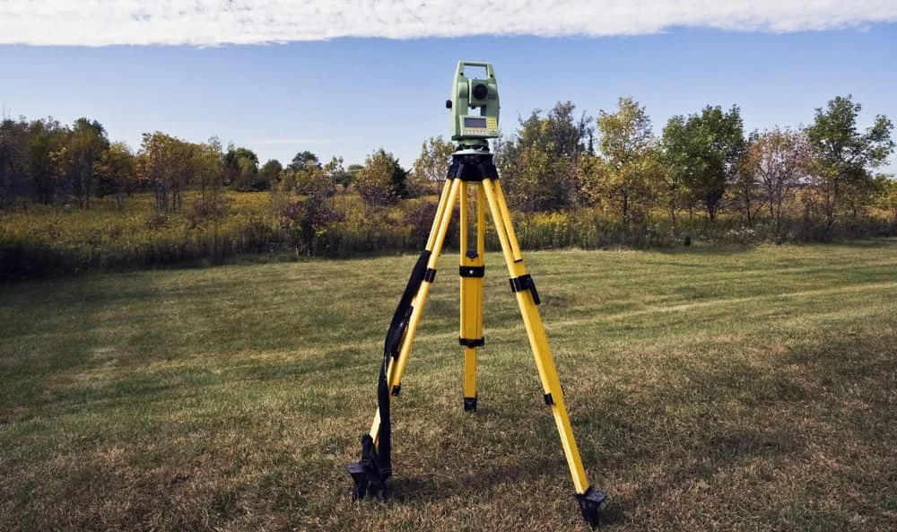
Survey Works provides ALTA/NSPS Land Title Surveys for commercial real estate transactions across Texas. An ALTA survey is the most comprehensive survey available for commercial property, prepared to the national standard published by the American Land Title Association and the National Society of Professional Surveyors. Title companies, commercial lenders, buyers, and developers order ALTA surveys when the transaction justifies the highest level of survey evidence on record.
The deliverable is a sealed drawing, prepared by a licensed land surveyor, that covers the boundary, the physical improvements, and a buyer-specified set of additional investigations drawn from the ALTA Table A list. The survey is designed to satisfy title insurance underwriters, close out survey exceptions on the title commitment, and document the property as it existed on the date of certification. ALTA surveys are also referred to as ALTA land surveys, ALTA/NSPS land title surveys, or simply title surveys in the commercial real estate market.
What an ALTA/NSPS survey documents
Every ALTA survey includes the boundary, the legal description, and physical evidence of encroachments, easements, and rights of way affecting the property. It shows the location of buildings, hardscape, fences, and other improvements, along with the means of access from public roads and any recorded setbacks. The following details are present on every certificate:
- Record and measured boundary with the property's legal description
- Locations of all buildings, foundations, and other physical improvements
- Evidence of encroachments onto or from the subject property
- Easements of record, including access and utility easements
- Public road access points and any applicable zoning setbacks
- Water features, flood-prone areas, and other physical conditions relevant to the title
Buyers and their counsel select additional investigations through Table A. The items we add most often on Texas deals are item 5 (vertical relief and contour data) and item 11 (evidence of underground utilities serving the property). Zoning analysis, tree location, and ADA review are common on larger commercial sites. The selected Table A items are confirmed in writing before fieldwork begins, so the scope matches what the title company and lender expect to see on the certificate.
How an ALTA survey differs from a standard boundary or title survey
A standard boundary survey establishes and monuments the property lines for a single purpose, usually a fence, an owner's peace of mind, or a residential transaction. A title search is a legal records review that the title company performs on its own. An ALTA land survey is the engineered synthesis of both. It is held to the national ALTA/NSPS standard, it includes explicit investigations selected by the buyer's counsel, and the certificate is addressed to a defined list of parties (often the buyer, the lender, the title company, and the title insurer) so each party can rely on the survey for its own purposes.
The practical difference on the ground is that an ALTA survey ties boundary, topography, easements, utilities, and title exceptions into one sealed document the transaction can close against. That is why commercial lenders and title underwriters default to the ALTA/NSPS standard on larger deals instead of stacking several narrower surveys together.
When clients order an ALTA survey
Most ALTA surveys are ordered during commercial real estate closings. A title company orders one to clear survey exceptions on the commitment. A lender orders one when the underwriting requires updated survey evidence for a large commercial loan. A commercial buyer orders one during due diligence on an acquisition where the risk profile justifies the comprehensive survey. Developers order one early in the life of a project to confirm the property they are buying is the property they are entitled to develop.
ALTA surveys also come up on refinancing, 1031 exchanges, partial acquisitions, and existing property portfolios where an older survey no longer reflects current conditions or current ALTA/NSPS standards. Survey Works takes each engagement from kickoff through certificate, coordinating directly with the title company and lender so the certificate wording lands exactly the way the transaction requires.
Timeline and scope
A typical ALTA/NSPS survey runs two to three weeks from kickoff to signed certificate. The coordination with the title company, the records research, the utility locating, and the preparation of the sealed drawing to current ALTA/NSPS standards together take more time than the field crew spends on site.
"Clients think an ALTA/NSPS survey is just measuring property lines. Once you add Table A items like measuring vertical relief, reviewing zoning reports, coordinating with the title company and reviewing S.U.E. (Subsurface Utility Engineering) reports, the fieldwork is often the smallest part of the job."
— Jad Duplechain, RPLS
Cost on an ALTA survey is driven primarily by the size and complexity of the parcel, the Table A items selected, and the amount of recorded title evidence the surveyor has to reconcile against physical conditions on the ground. Survey Works runs each job on a firm timeline so the closing date is protected.
Survey Works has delivered ALTA/NSPS surveys on Texas commercial transactions for over 10 years, working directly with title companies, commercial lenders, and the attorneys handling the closings. Every project runs through the same process, with current ALTA/NSPS standards reviewed against the specific Table A selections on the order.
For a commercial closing, refinance, or acquisition that calls for an ALTA/NSPS land title survey in Texas, Survey Works has the field experience and the transaction coordination to deliver the certificate your title company and lender need.