Survey Works provides tree surveys for commercial, civil, and residential projects across Texas. A tree survey documents the species, size, condition, and location of regulated trees on a property, producing the record that municipal permitting authorities need before approving site development or construction activity. Engineers, developers, landscape architects, and property owners use the deliverable to design around protected trees, justify removal requests, and meet permit submittal requirements.
In the Austin market, tree surveys are required on most development projects. The city's tree protection ordinance applies to any property with trees of regulated size, and the tree survey is a prerequisite for site plan review on nearly every commercial and residential construction permit. A project timeline can stall because tree documentation was missing or was not prepared to the standard the city's reviewers expect.
What a tree survey documents
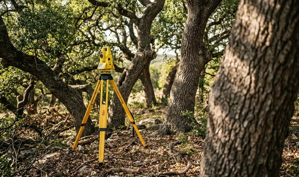
Our field crews locate and identify regulated trees on the property, recording species, diameter at breast height, and position. The trees can then be compared relative to property lines, proposed improvements, and existing structures. The deliverable is a sealed survey drawing that integrates cleanly with the architectural and civil plans for the project, plus a written tree inventory keyed to each trunk location.
Survey Works has completed tree surveys across development types in Texas, from single-lot residential parcels with a handful of heritage oaks to multi-acre commercial sites with hundreds of regulated trees. For properties in Austin, we format the deliverable to match current site plan review requirements, which minimizes back-and-forth with the permit reviewer over missing data or presentation issues.
When a tree survey is required
Most tree surveys in Austin are ordered at one of three moments in a project. A developer orders one at the start of site due diligence to understand how protected trees will constrain the site layout and building footprint. An engineer or landscape architect orders one during the design phase to locate existing trees against the proposed grading, utilities, and hardscape. And a property owner orders one when pulling a building permit on a lot the city believes contains protected trees, because the permit cannot be issued until the tree record is on file.
Outside the permit trigger, tree surveys also come up during property sales on parcels with significant timber, for boundary disputes where trees mark the line, and during construction damage assessments after a protected tree is impacted by adjacent work.
Survey Works runs tree surveys as a standalone scope or as part of a combined site planning package that includes topographic, boundary, and utility data on the same deliverable. The combined package is often the most efficient path when a project is headed toward a full site plan submittal. After over 10 years of field work across Texas, our process is built around the real requirements of Austin's permit review, not a generic template.
If you have a development project headed for permit review in Austin, or you need to document protected trees on a property you are evaluating, request a proposal and we will walk you through the scope, timeline, and deliverable format.